GPS for locating small locations

Che

Treehouser
Joined
Aug 27, 2006
Messages
1,574
Location
Central Kentucky
We are leasing some acreage next to our farm. It is riddled with some serious sink holes. I put the truck into one right away, the entire front tire anyway.

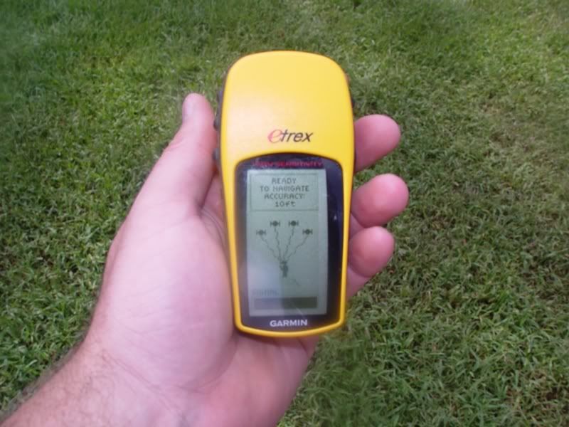
We'd like to buy a GPS unit that would allow us to locate each one and map it on a display that would show our position as well as theirs.

Any suggestions?
 
my older GPS unit does something like that, its a magellan explorist 100, a base model type unit from maybe 3 to 5 years ago.
 
Does GPS have sufficient proximity location to allow that? Isn't it like within so many feet? I thought the government regulated it.
 
I think the deal is 3 or 5 meters now, a number of years back I think it was 10 meters.
 
  • Thread Starter Thread Starter
  • #10
Thanks for the info, Paul. Really, ANYTHING would be better than just finding out when you're IN one. The latest google maps were taken in the winter so you can see a slight variation in color where some of them are. But there are some like the one I found last week, about ten inches across and I couldn't find the bottom with a long stick. Too small to show up on a picture but plenty large to grab a leg (human or bovine.)

I figured there may be a treehouser that uses them for marking specific trees of interest in larger acreage. Or good fishing spots? ;)

My son bought a simple 'tomtom' at a garage sale for $20 and that's the closest I've come to using anything like that. Which, BTW....was VERY cool driving to MN this past summer. Amazing.
 
Che, the good fishing and lobstering spots we have, we found and put them in the gps. I almost think you would have to do the same thing. Physically walk the property, find them, then enter them.
 
The government took the built in error out several years ago. It had become obsolete. the new ag setups, which also take readings from base stations are good to withing about 4 cm, last I heard, they may be closer now. My son uses the JD system and I can not tell you where the break is between the passes with a 40' seeder. With auto steer you just get headed in right direction, hit a button and the steering control switches to the GPS. You have to turn at the end is all (and stay awake).
 
  • Thread Starter Thread Starter
  • #13
That's EXACTLY what we need/want to do, Gigi. Sounds like I need to do some searching after I figure out how much they cost, how much we want to spend, etc.

Bob....there wouldn't be any naps around here, not enough flat/horizontal land. I've seen those setups in Progressive Farmer. Pretty impressive.
 
Slight change of subject, but how effective is GPS for fishing? Can you go back to the same location and predictably find fish?
 
The government took the built in error out several years ago. It had become obsolete. the new ag setups, which also take readings from base stations are good to withing about 4 cm, last I heard, they may be closer now. My son uses the JD system and I can not tell you where the break is between the passes with a 40' seeder. With auto steer you just get headed in right direction, hit a button and the steering control switches to the GPS. You have to turn at the end is all (and stay awake).

4cm, as in centimeters or 4 Meters?

If they have one that's accurate to about a foot plus or minus, I want it.
 
Carl has a good one for you there. I have an upgrade from that, the Garmin 76csx but I also need altitude and glide ratio infos.

The rub with the garmins is that you can use the map that comes with it but it is just spahgetti on a flat map. You have to buy the topo-maps or hwy nav maps individually.
 
  • Thread Starter Thread Starter
  • #20
Wow. A new toy. I can think of so many applications besides sink holes!

I had no idea their prices started so low.

Three votes for Garmin, and I know how...uh...particular...the voters are, so that carries alot of weight to me.

How/where do you purchase topo maps for a unit?


THANK-YOU!!!
 
I've never used an electronic map on my handheld. When I was backpacking heavy like you pretty much wanted a paper copy instead of being lost in a serious way. As small as the screen is, for OMG hole locations, I think I'd want the screen pretty well clear unless it's showing me something.

DSC06061.jpg
 
  • Thread Starter Thread Starter
  • #22
So I could take one of these things, plug in the coordinates for all of our known landmarks and boundaries, and this would/could show the OMGH locations in relation to them on the screen?

I was reading the product info on a few of the Garmins, that must be where the number of points is important.

Do any of these things have an audio warning when you're coming up to a specific type of location?
 
You wouldn't have to write in their cordinates, just take it with you and set a waypoint when you're at a OMGH.

When you enter a waypoint it makes a dot on the map (w/ or w/o a title) and you are typically centered in the screen. By adjusting the screen's zoom, you can limit it to say a 100' radius around you. If you see something pop up on the screen, watchout, you be close!

To get an audio warning on most low end items (assuming it's possible, it's not on mine) your waypoint would have to be set as your destination I'd think.

How many acres is it?
 
Back
Top